
UAVs in the air find application on the field
By: Kenner Patton
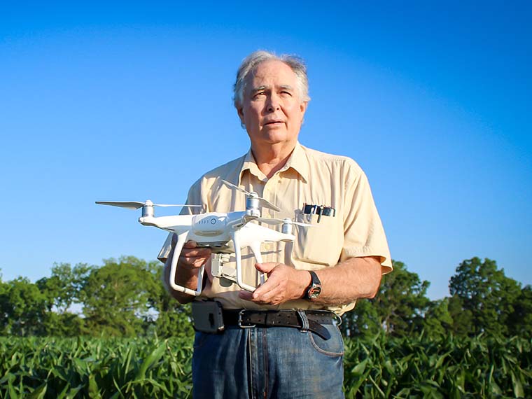
Dr. Wayne Ebelhar holds a UAV at the Delta Research and Extension Center in Stoneville, Mississippi. (Photo by Kenner Patton)
The information presented on this page may be dated. It may refer to situations which have changed or people who are no longer affiliated with the university. It is archived as part of Mississippi State University's history.
Unmanned Aerial Vehicles or UAVs are currently being used in agriculture to scout crops, assess drought and flood damage, estimate stand counts, detect nutrient deficiencies, inspect irrigation problems, examine insect infestations, investigate insurance claims, and more. The use of UAVs in agriculture is expected to increase exponentially in the coming years. In fact, multinational professional services firm PricewaterhouseCoopers, with a network of firms in 157 countries, estimates the addressable market of UAV powered solutions for the agricultural industry at $32.4 billion dollars.
There are considerable advantages that UAVs bring to the table. From aiding in ground-truthing to replacing a traditional airplane flyover, UAVs can collect more data in less time than traditional tools. However, as with any emerging technology, form must follow function in order to be considered successful. Dr. Wayne Ebelhar, research professor and agronomist in the Mississippi Agricultural and Forestry Experiment Station stationed at the Delta Research and Extension Center, has analyzed UAVs in a variety of research scenarios to help find ways for producers to gain critical information in a cost-effective and timely manner. Ebelhar's research includes cotton plant yield estimations.
Ebelhar assisted agricultural engineers at the U.S. Department of Agriculture in Stoneville. When Drs. Steve Thomson and Yanbo Huang began evaluating ways to improve UAV data collection, they sought a partner to evaluate the data from an agronomic stand point and then deliver the information to producers who would be the ultimate end users.
"Dr. Huang and his colleagues were evaluating cotton plots for stand counts, estimating yields, and determining defoliation timings," Ebelhar said. "They had great images and data but needed help interpreting them and passing that information on to the industry. There has to be a mechanism to translate concepts into practical use."
The team used Normalized Difference Vegetation Index or NDVI, a graphical indicator technology available with UAVs. NDVI looks at the greenness of the plant to determine plant health, productivity, and density.
"This technology is a simple graphical indicator that can be used to analyze remote sensing measurements," Ebelhar explained. "Various cameras and sensors can use visible and near-infrared light or even multi-spectral sensors reflected from plants to create a simple scale for measuring vegetative conditions."
In this on-going research, scientists evaluated methods to estimate cotton yield through the use of UAVs. The study found that low-altitude remote sensing with a small UAV can be used for reliable cotton yield estimation based on the plant height. Cotton yield estimation is critical in farming management but traditional methods, like walking an entire field, can be time-consuming, labor intensive, and difficult. The relatively low-cost UAV provides high-resolution digital images that can be obtained and processed in a convenient, timely manner.
"Using NDVI, we were able to estimate the vigor of the plants that many times can be associated with health. Digital surface models are used to accurately estimate the height of the cotton plant and subsequently calculate the yield," Ebelhar said. "Bottom line is that UAVs provide producers with a more comprehensive idea of what's occurring in the entire field in a timely, consistent, and cost-effective manner."
Ebelhar said the convenience, reliability, and cost-savings of UAVs may mean more money in the pockets of producers, contributing ultimately to greater efficiency in helping feed and clothe more people.