
Pond-er This
MAFES scientists look to ponds as a watershed management tool
By: Meg Henderson
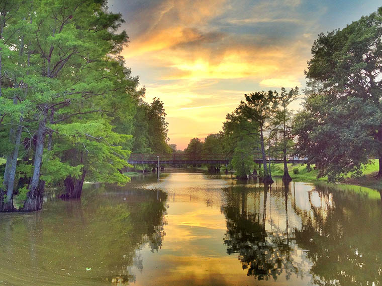
Deer Creek is connected to the Big Sunflower River via Rolling Fork Creek. (Photo by John Montfort Jones)
As worsening rainfall events threaten Mississippi's land and water quality in the coming decades, a solution may be—more water? A scientist from the Mississippi Agricultural and Forestry Experiment Station has taken a deep dive into leading-edge data tools to show that a simple solution from nature—ponds—can be an effective ally in tempering climate change-related soil erosion and water pollution in one of Mississippi's largest and most productive watersheds.
In northwest Mississippi, the Big Sunflower River meanders through a 8,326-square-kilometer floodplain, of which nearly three-quarters is used for agriculture. Its waters permeate the rich Delta soil and fill the region's aquifers. As climate change progresses, increasingly heavy and prolonged rain events in the predominantly agricultural region will result in greater soil loss from erosion and deposit more sediment and nutrients from fertilizers into the watershed named for its river, seriously compromising water quality for agriculture, ecosystems, and human consumption.
Dr. Prem Parajuli, a professor in Mississippi State University's Agricultural and Biological Engineering department, and his former doctoral student, Dipesh Nepal, were inspired to conduct a predictive study within the Big Sunflower River Watershed (BSRW) after reading other literature reporting the effectiveness of ponds on improving water quality. In a three-year study, researchers combined satellite imagery analysis with climate-specific hydrological and water quality computer modeling tools to predict future weather and water flow conditions in the BSRW through the 21st century. They modeled these conditions both with and without best management practices (BMPs), specifically the addition of ponds to the landscape.
"When excess sediment and nutrients flow downstream during rain events, they can negatively impact ecosystems and public water sources," Parajuli said. "Because these events are predicted to grow larger and more frequent, using best management practices is critical to controlling the damage."
Among a number of analysis tools, the scientists turned to Google Earth Engine, or GEE. This remote sensing tool analyzes high-resolution images from NASA's Landsat satellites for a given area's landscape features, such as forest, urban areas, agricultural land, water features, and topographical data. The data from GEE, along with digital model elevation, land use, soil, watershed management, and weather data, was fed into a program called the Soil and Water Assessment Tool, or SWAT, which simulates current and predicted environmental impacts on a given watershed resulting from land management decisions and future climate change.
"The SWAT models are only as good as the data we put into it," Parajuli said. "So, we began by feeding it weather data taken from various gauge stations in the Sunflower basin over the last 20 years to calibrate and validate the model for generating our future climate scenarios."
To prepare their future predictions for the BSRW, Parajuli and Nepal first examined Representative Concentration Pathways, or RCPs, which provided a framework for modeling climate change scenarios for twenty-year periods covering the middle (2040-2060) and end (2079-2099) of the century. The RCP 4.5 model represents a moderate rate of global warming, and RCP 8.5 represents a worst-case scenario in which global emissions continue to rise throughout the century. They used another tool called Canadian Regional Climate Model V5, or CRCM5, to predict future weather data using the RCP 4.5 and 8.5 models for the BSRW.
They ran their climate and weather data through the SWAT model to create a holistic model of what the BSRW might look like at the middle and end of the century without BMP intervention. They found that streamflow would increase by about 25% under the moderate scenario and closer to 45% under the worst-case scenario by the century's end. In terms of sediment impact, the models predicted up to a 107% and 150% increase for the middle and end of the century, respectively.
In another run through SWAT, they added simulated ponds to the BSRW models to test their impact on streamflow and sediment deposits. Adding ponds to the landscape would in fact reduce seasonal streamflow by 1-2% and reduce sediment load by about 45%—for both mid- and late-century models and under both moderate and strong climate scenarios.
So long as the land usage throughout the BSRW does not notably change by the end of the century, these results suggest that ponds can effectively shore up the watershed, making it more resilient to climate change.
"Our results show that ponds will be able to capture enough water, substantially reduce erosion, and recharge ground aquifers in the coming decades," said Parajuli. "We're educating stakeholders on how climate change will impact our land and water and how adopting best management practices today can improve the quality of both tomorrow."
The study was funded in part by an Agriculture and Food Research Initiative competitive grant from USDA's National Institute of Food and Agriculture and in part by MSU's Bagley College of Engineering and the Mississippi Agricultural and Forestry Experiment Station.
We're educating stakeholders on how climate change will impact our land and water and how adopting best management practices today can improve the quality of both tomorrow.
Dr. Prem Parajuli
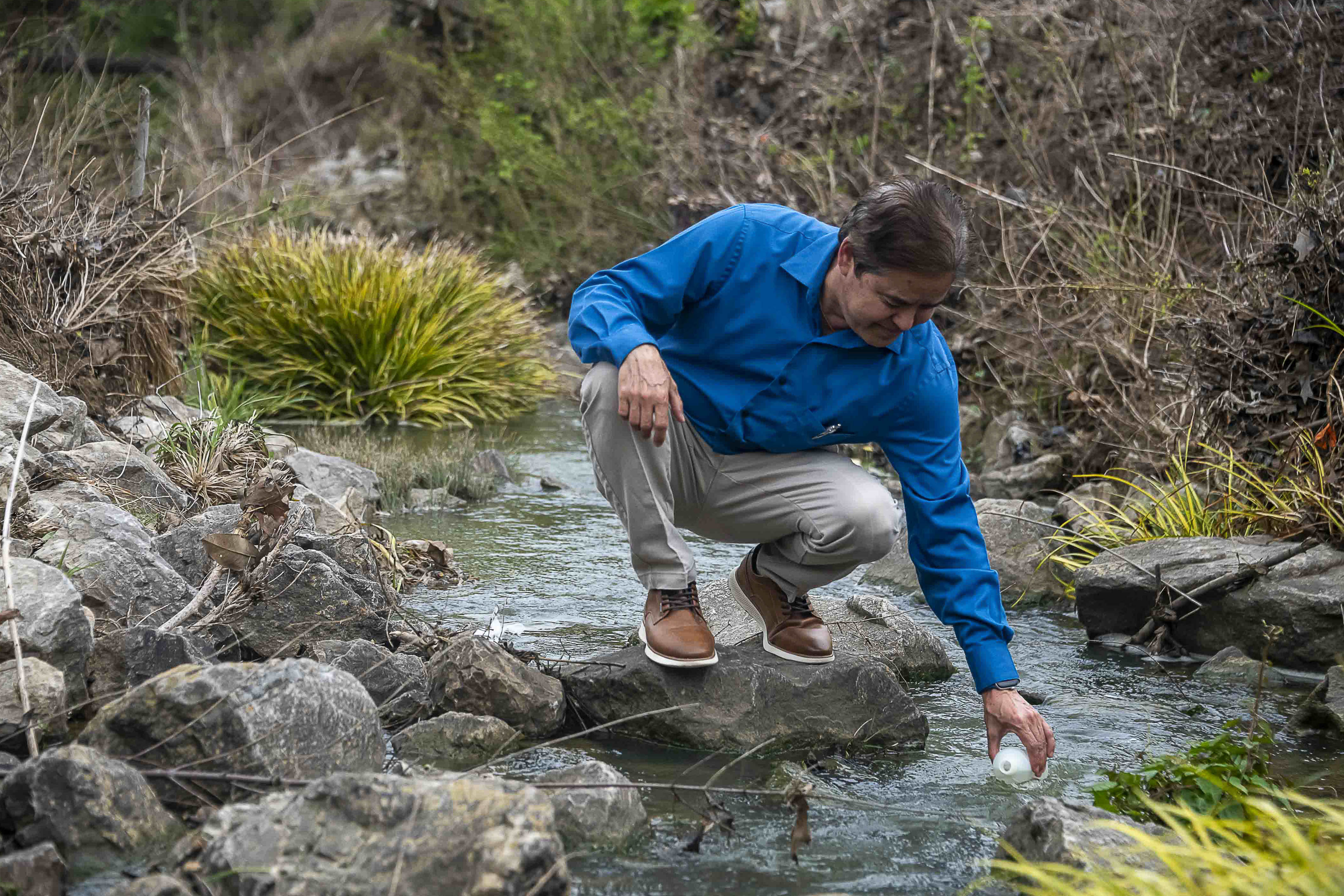
Dr. Prem Parajuli samples water from a creek in north Mississippi. (Photo by Dominique Belcher)
Behind the Science
Prem Parajuli
Professor
Education: B.S., Civil Engineering/Public Administration, Tribhuvan University; M.S., Biosystems Engineering/Agronomy and Soils, Auburn University; Ph.D., Biological and Agricultural Engineering, Kansas State University
Years At MSU: 16
Focus: Hydrological and water quality modeling
Passion At Work: My vision and goals are to improve our water quality, water quantity, and watershed agro-ecosystems by integrating field observed data in conjunction with mathematical modeling; and developing simulation models and tools which will provide guidance to policy or decision makers.