
Geosystems Research Institute
Mississippi State University's Geosystems Research Institute, or GRI, is a strategic partner of the Mississippi Agricultural and Forestry Experiment Station. GRI is a nationally-recognized leader in geospatial research.
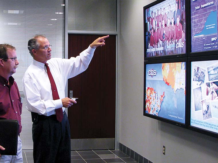
Wes Burger, associate director of MAFES; and Robert Moorhead, director of GRI, review a presentation at the institute. (Photo by Diane Janus)
The information presented on this page may be dated. It may refer to situations which have changed or people who are no longer affiliated with the university. It is archived as part of Mississippi State University's history.
The GeoResources Institute at Mississippi State University was created to conduct and coordinate research and hands-on learning opportunities in geospatial technologies and resource management, with an emphasis on agriculture, forestry, water resources, computational modeling, and visualization. In order to expand opportunity for broader research, the GeoResources Institute was renamed the Geosystems Research Institute in 2008.
Capabilities include remote sensing computational technologies, including the use of unmanned aerial systems, visualization techniques, and agriculture and natural resource management.
GRI works with scientists and students across a multitude of sectors within agriculture and natural resource management.
Current and pending projects include the use of unmanned aerial vehicles in precision agriculture, watershed analysis, wildlife population analysis, wildlife and ranch habitat analysis, and forest inventories.